
Due to urgent updates, some of our systems including reporting, paying and applying for things may be unavailable. Other things like checking your bin day and searching our website may also be unavailable. Please accept our apologies for any inconvenience.
Find Council Owned Land
Use this page to download maps showing council owned land.
You can download maps for:
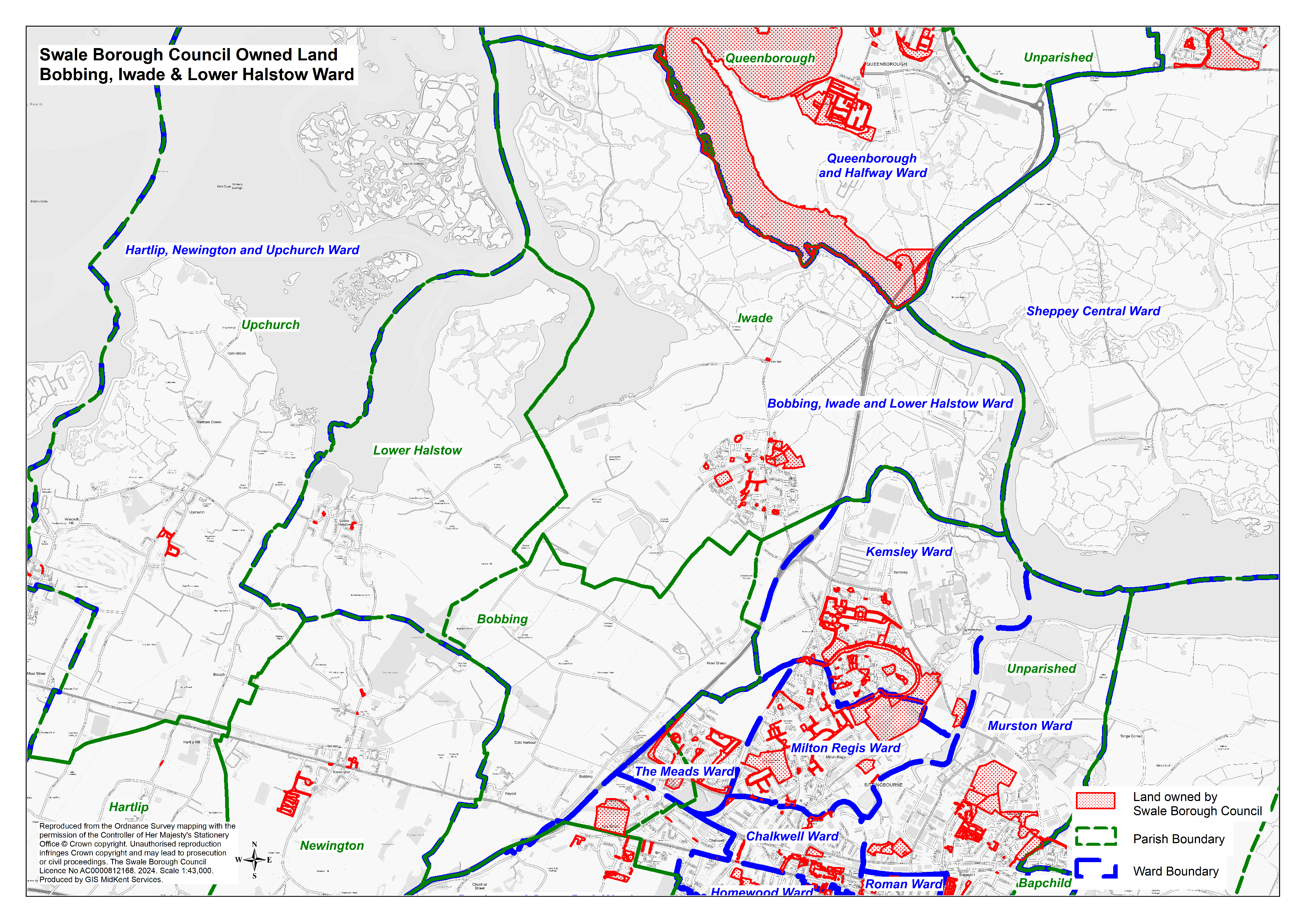
- Bobbing, Iwade and Lower Halstow (Image 5.1 MB)
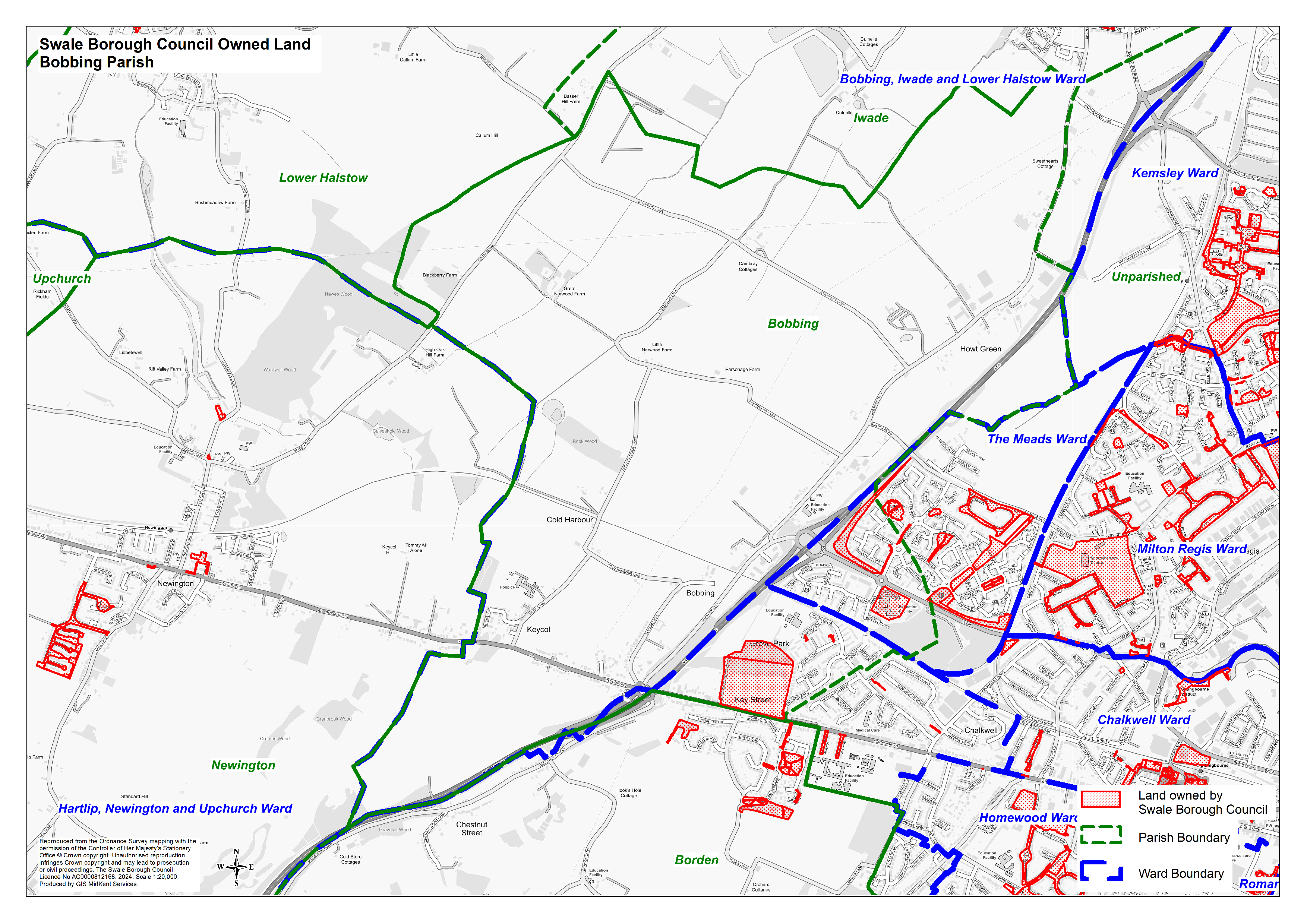
- Bobbing Parish (Image 4.2 MB)
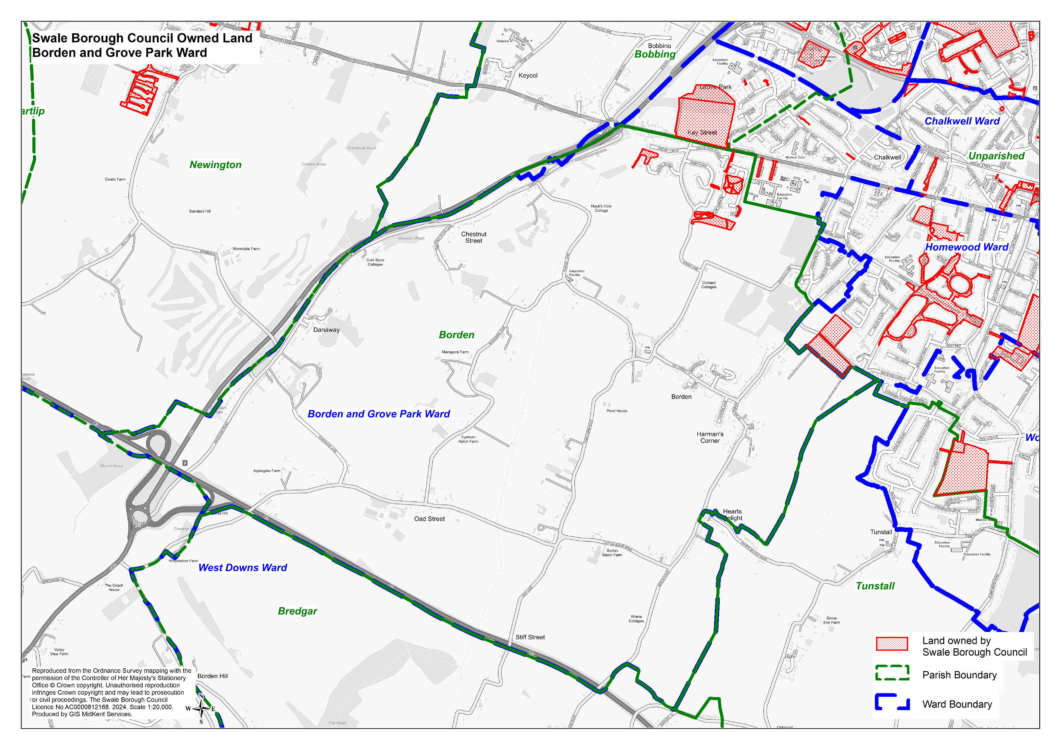
- Borden and Grove Park Ward (Image 3.7 MB)
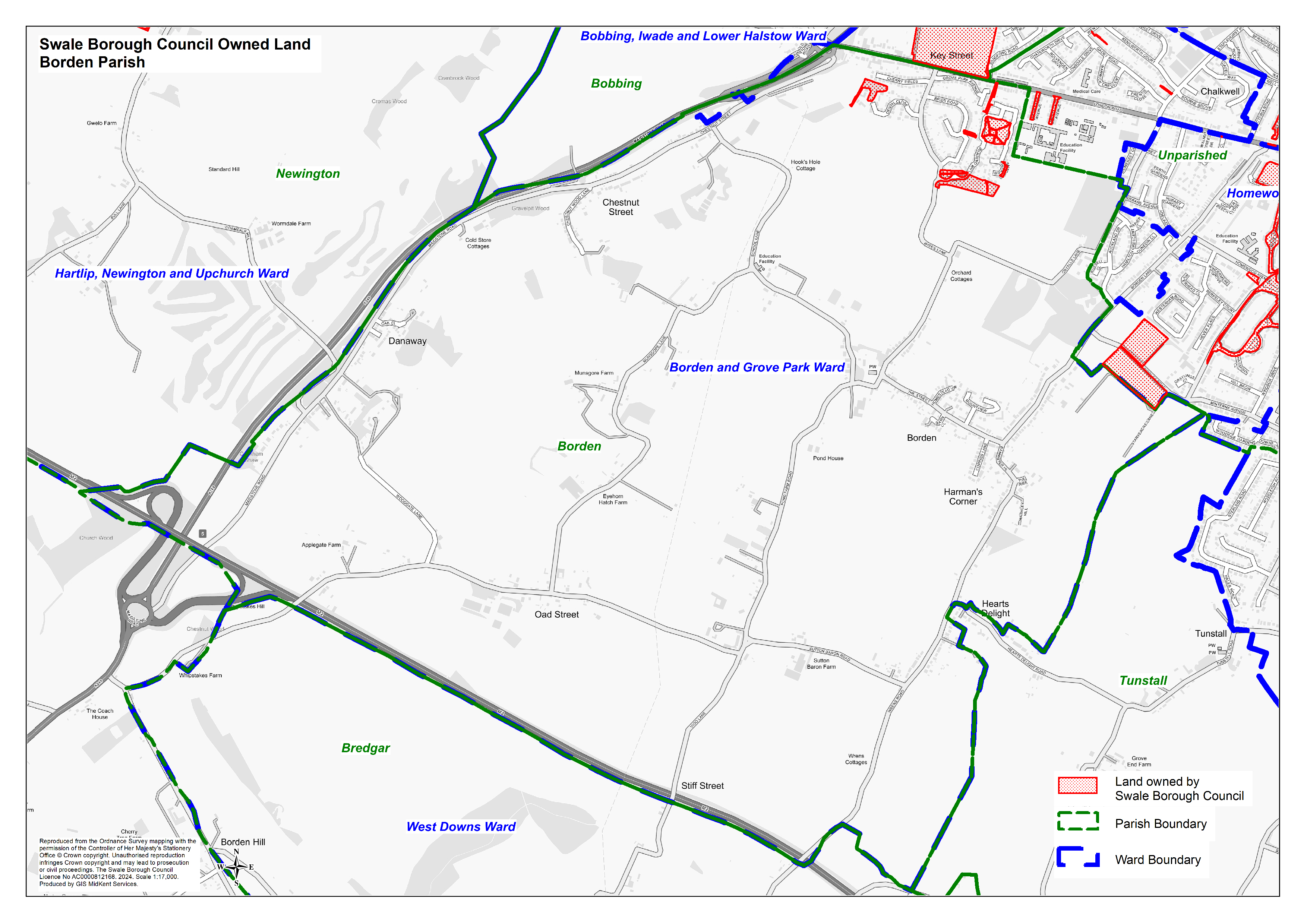
- Borden Parish (Image 2.8 MB)
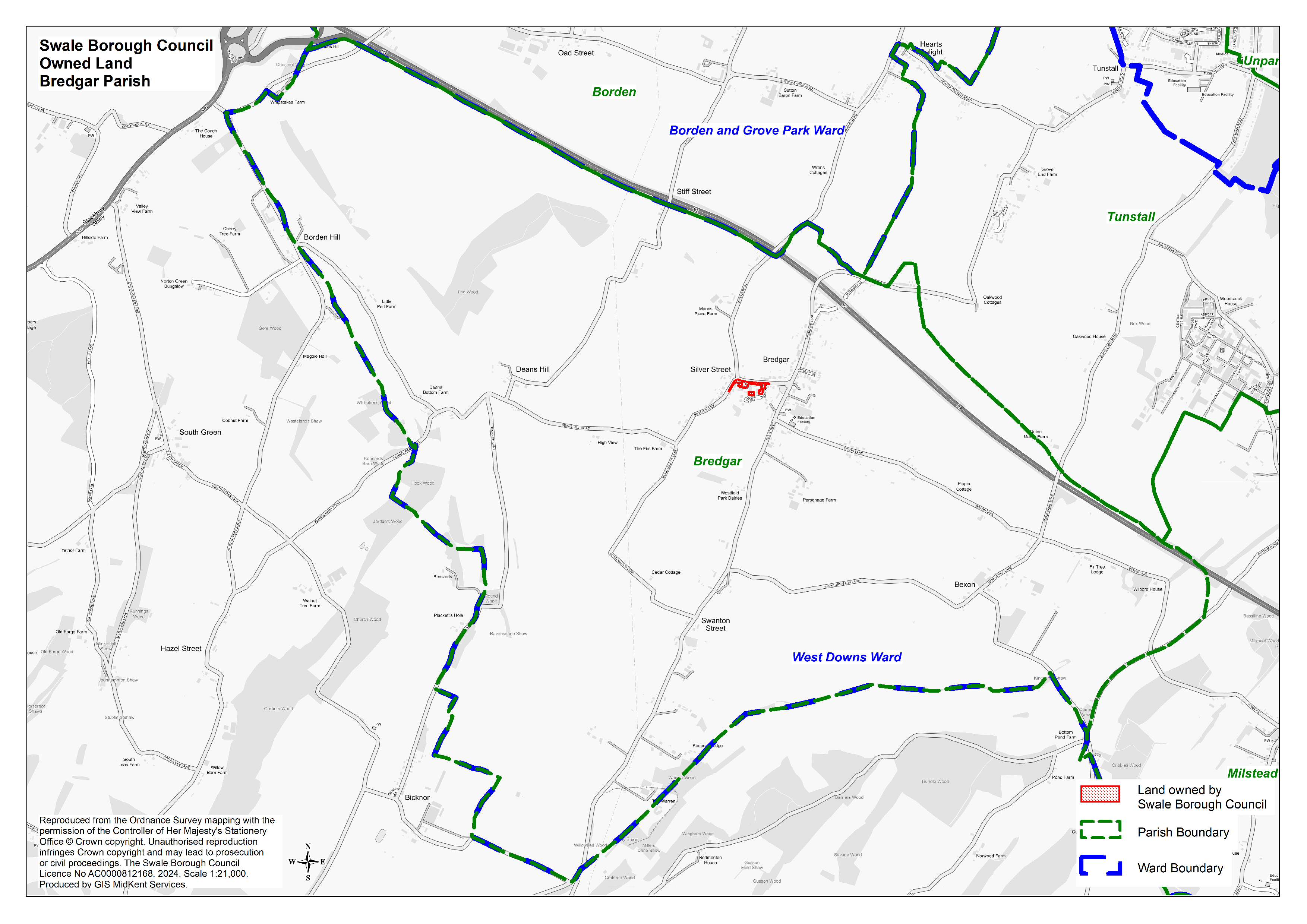
- Bredgar Parish (Image 2.3 MB)
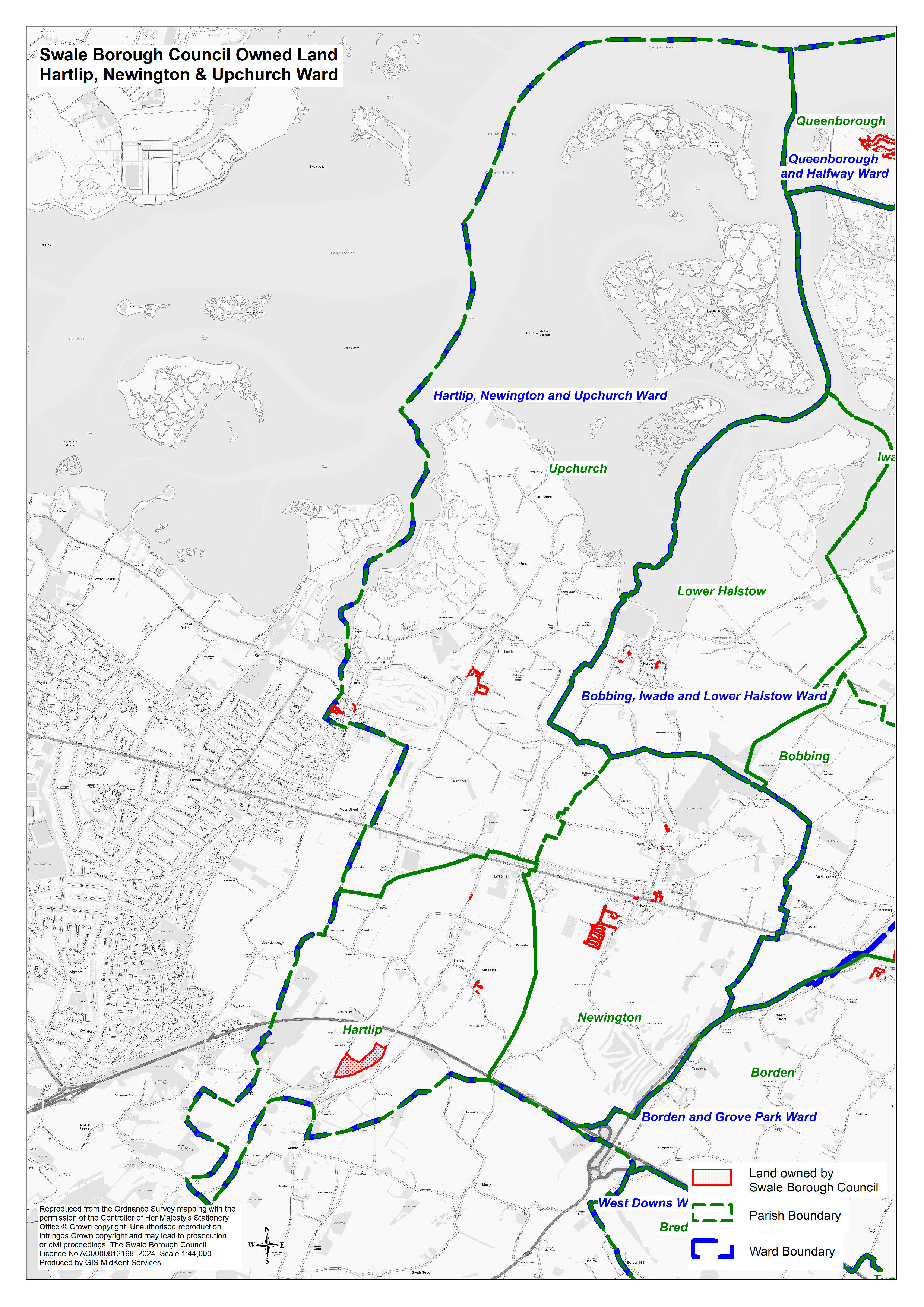
- Hartlip, Newington and Upchurch Ward (Image 3.6 MB)
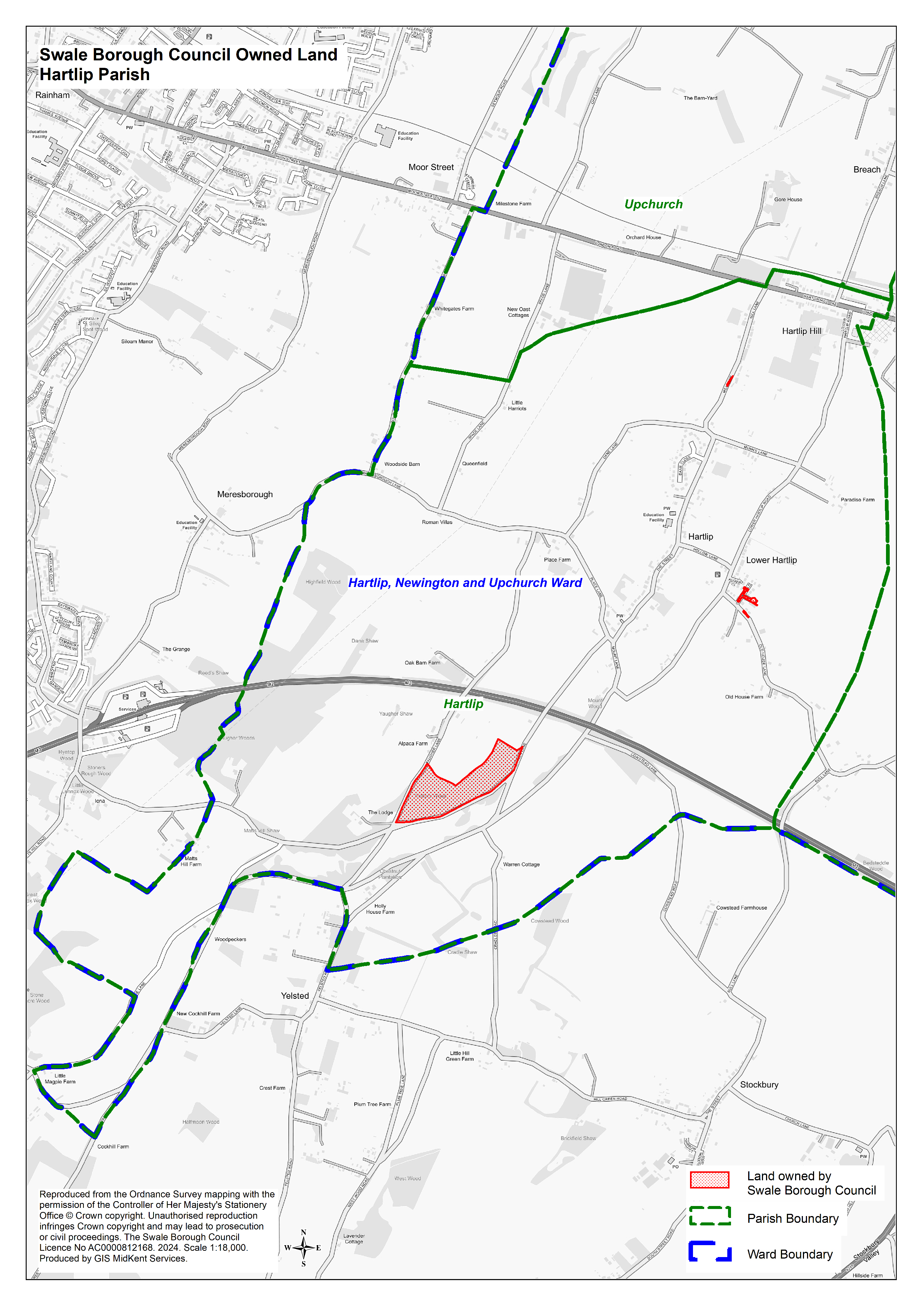
- Hartlip Parish (Image 2.6 MB)
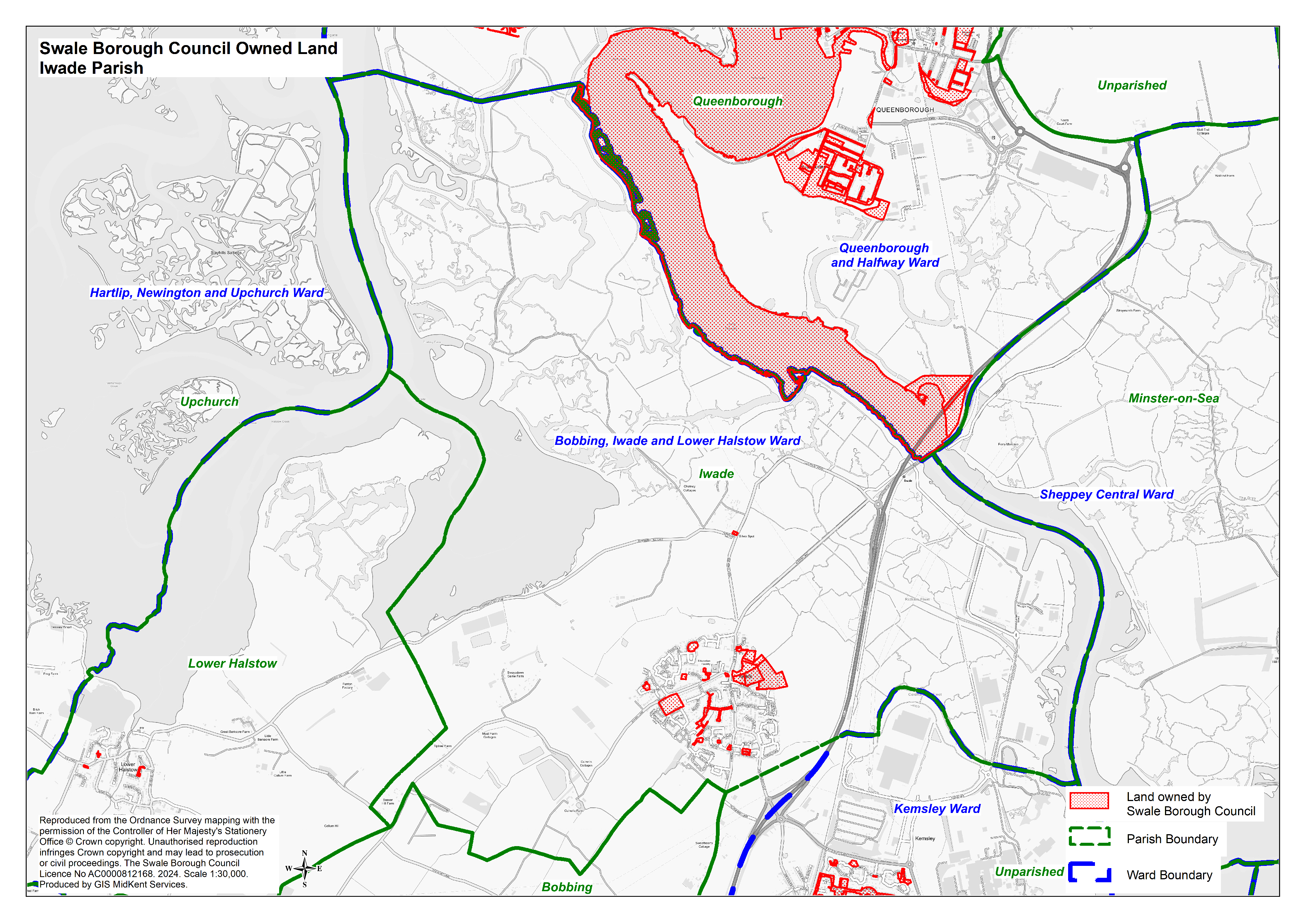
- Iwade Parish (Image 4.4 MB)
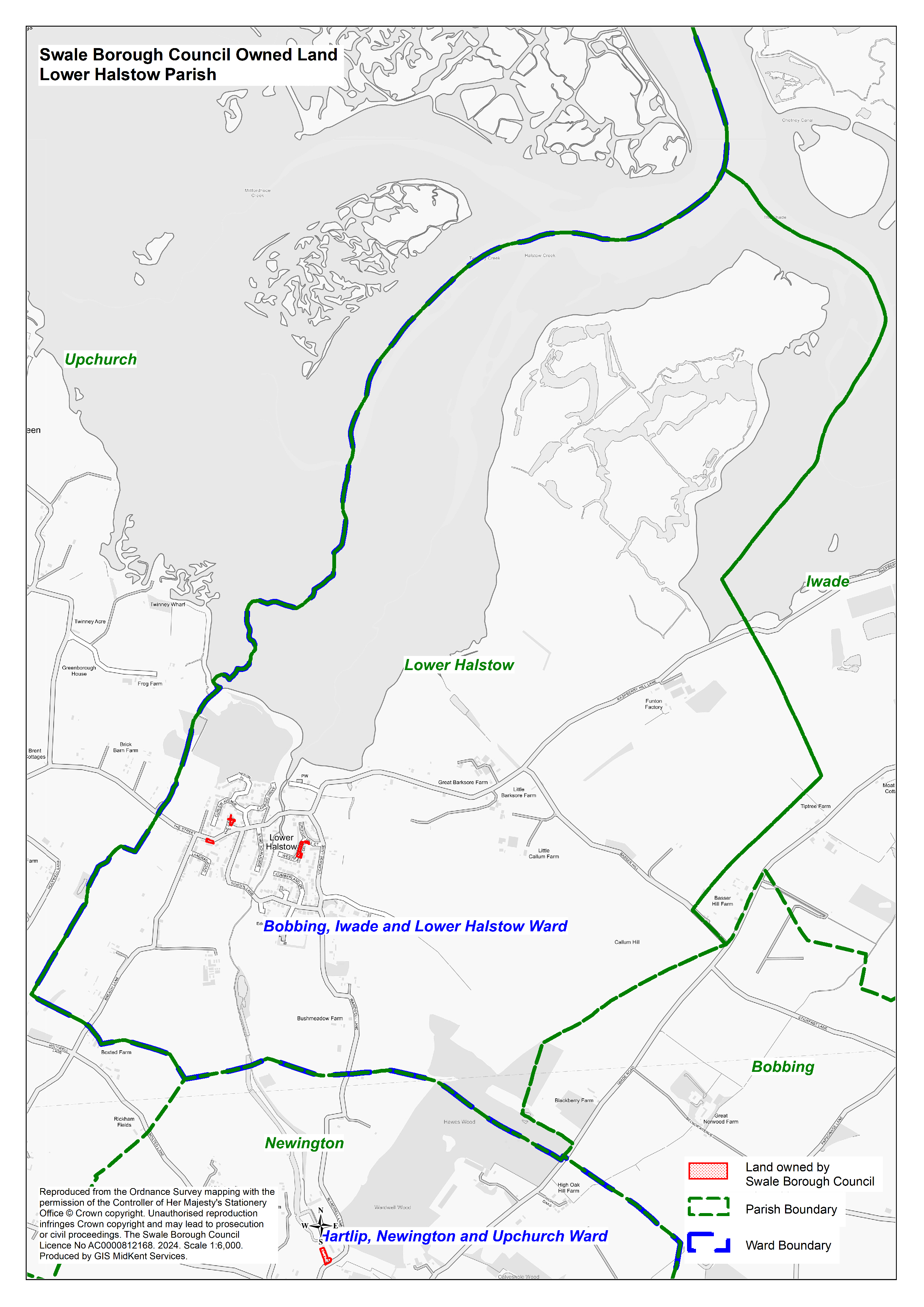
- Lower Halstow (Image 2.2 MB)
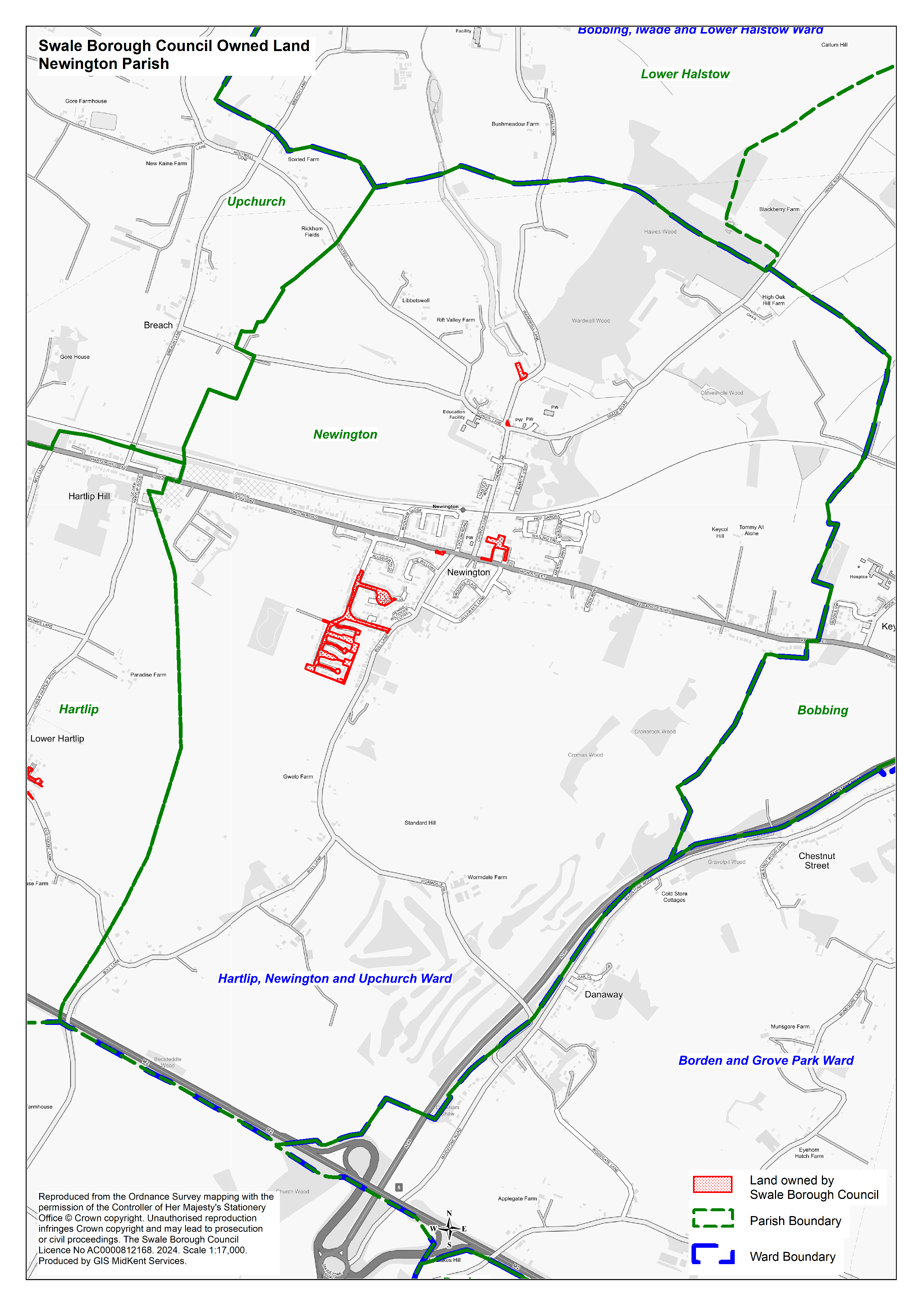
- Newington Parish (Image 2.4 MB)
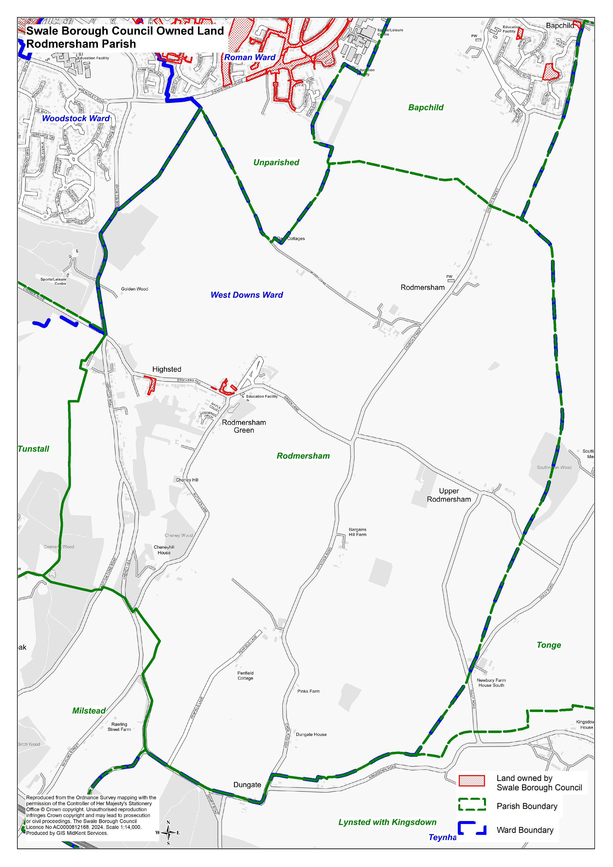
- Rodmersham Parish (Image 2.4 MB)
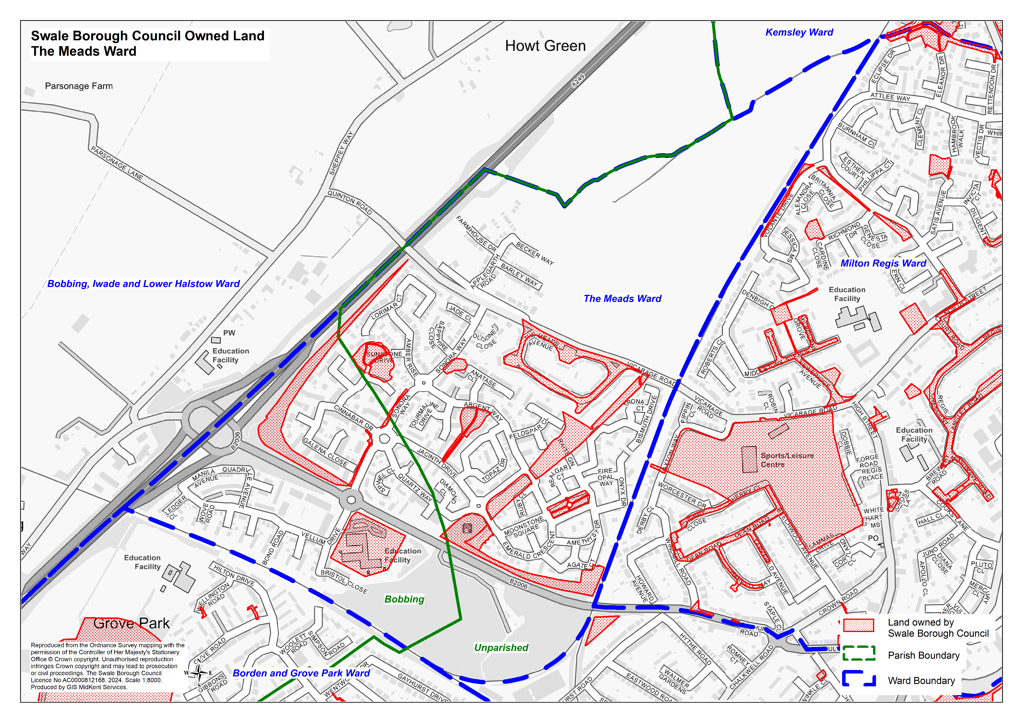
- The Meads Ward and Parishes (Image 4.8 MB)
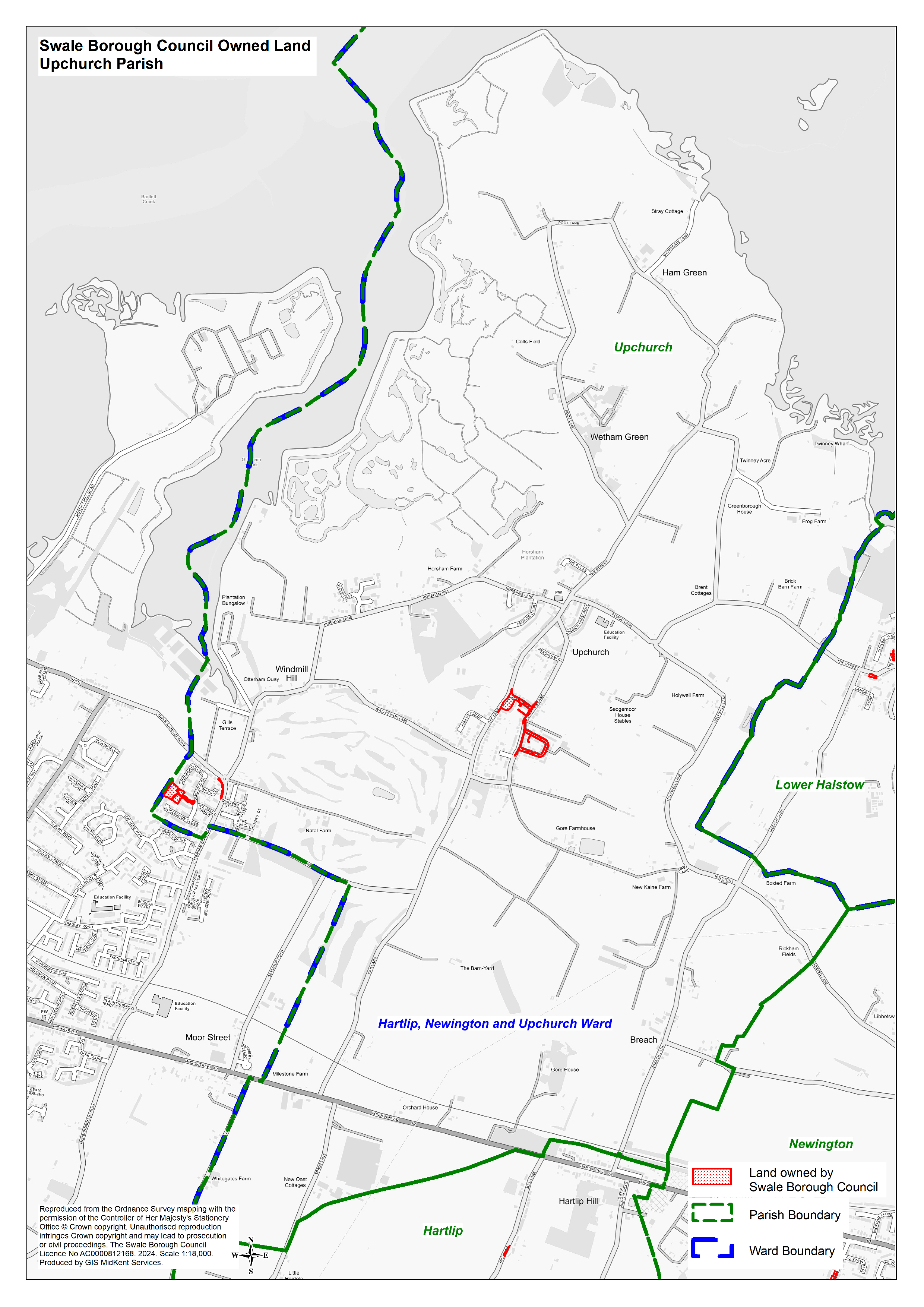
- Upchurch Parish (Image 2.4 MB)
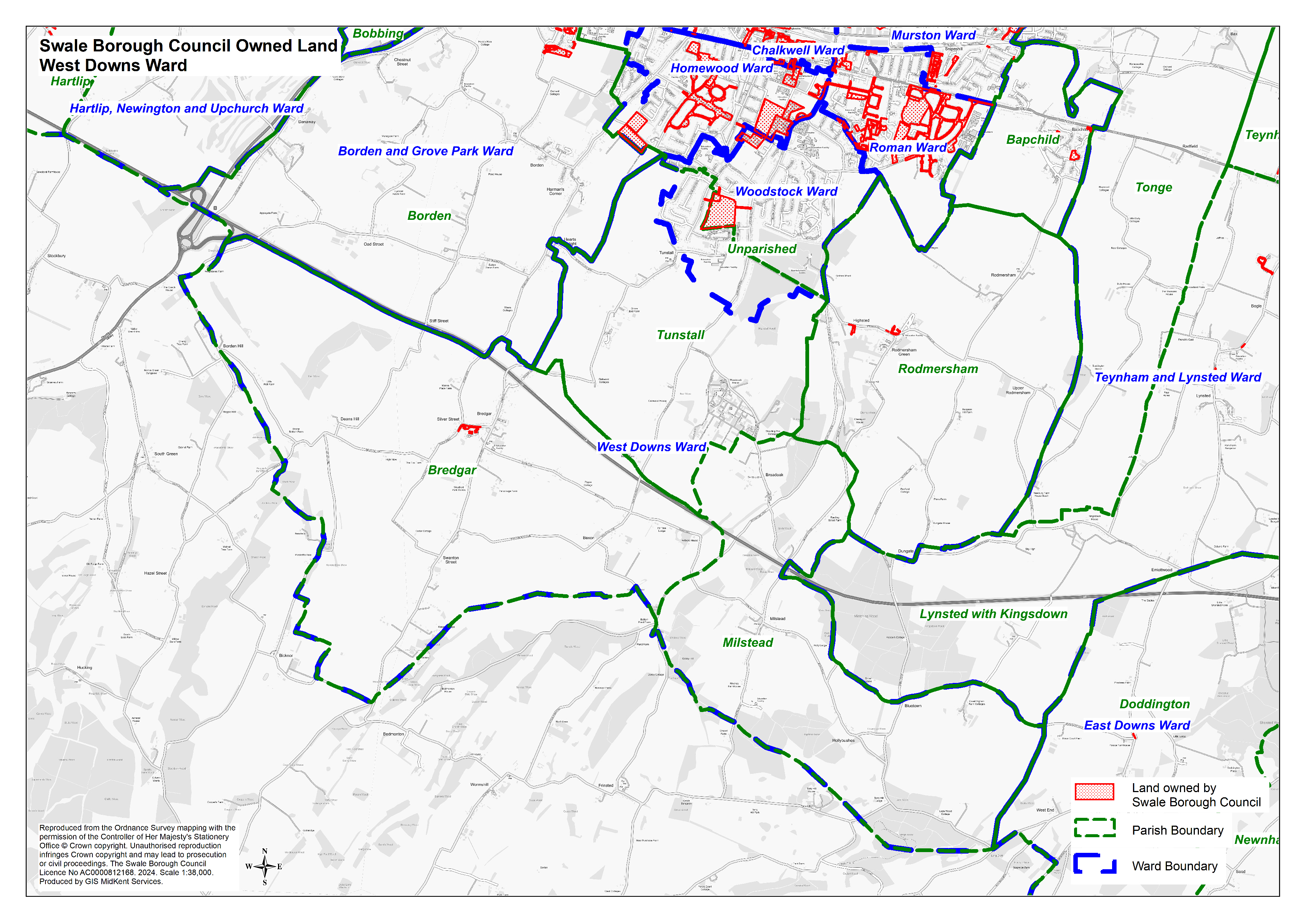
- West Downs Ward and Parishes (Image 3.7 MB)
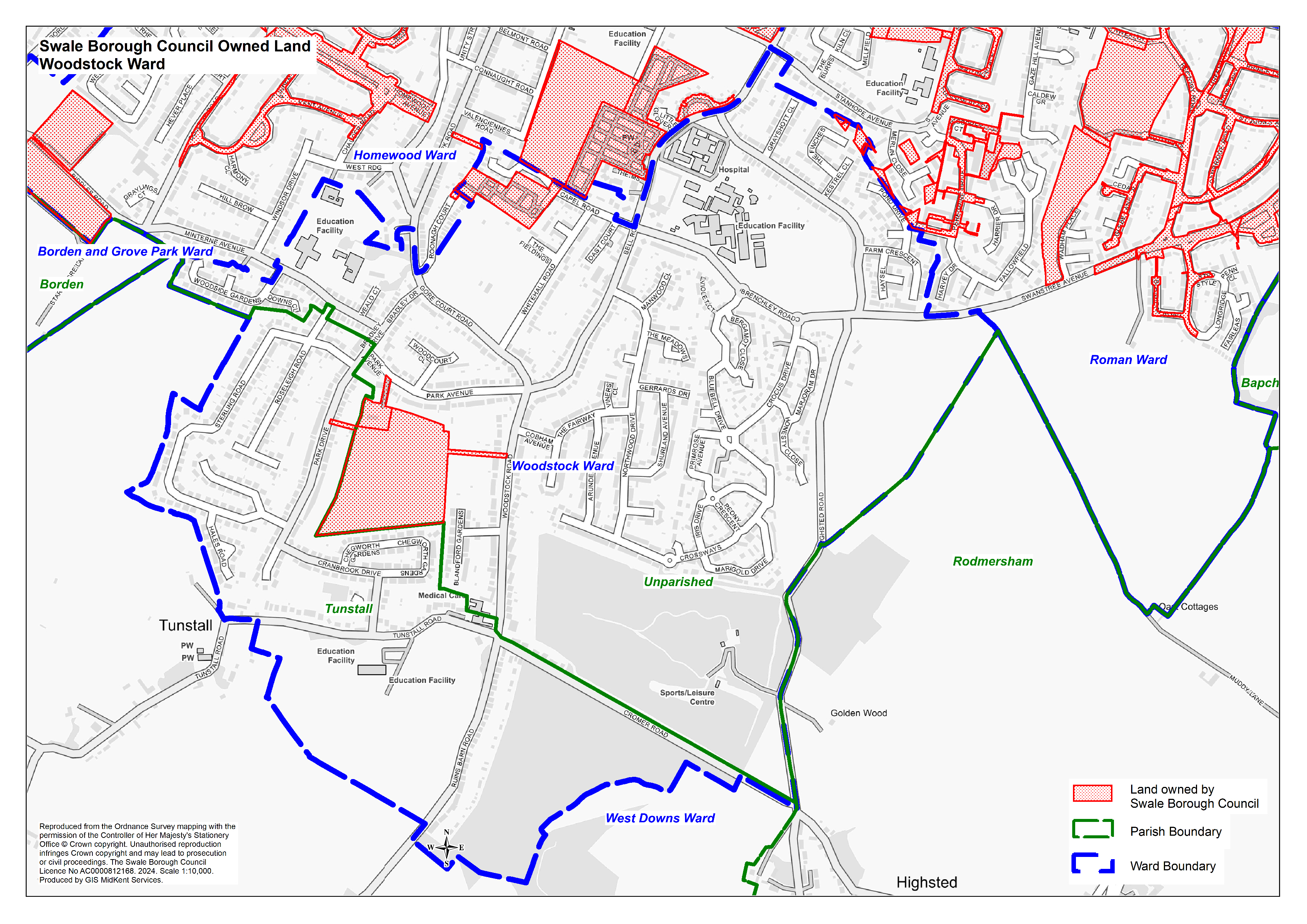
- Woodstock Ward and Parishes (Image 4.5 MB)
Share this page

