Strategic Housing and Economic Land Availability Assessment (SHELAA) entry SHELAA/184
Created on Friday 13 March, 2026
Updated on Tuesday 5 May, 2026
Suitable for housing
SHELAA/184 has been considered for housing.
Suitable for employment
SHELAA/184 hasn't been considered for employment.
Source of site
REG19.
Original references
SHELAA/184 refers to the following:
- LPR1975
Details of these references can be found on our evidence page.
A:
- REG prefix relates to the Regulation 18 consultation in 2021 (SBLP Issues and Preferred Options (Reg 18) - Details - Keystone)
- LPR prefix relates to our Regulation 19 consultation in 2021 (The Local Plan Review 2021 (Reg 19) - Details - Keystone)
Other reference variations relate to sites submitted before 2021.
Ward and parish split
SHELAA/184 is split into the following:
Ward
- 100% Minster Cliffs
Parish
- 100% Minster-on-Sea
Site size
SHELAA/184 is approximately 7.79 hectares
Dwellings
The number and type of dwellings SHELAA/184 is able to support.
Greenfield
- developable area 0 dwellings at 40dph
- 234 dwellings at 30dph
- 0 dwellings at 40dph
Wider urban
SHELAA/184 could include 390 wider urban dwellings at 50 dwellings per hectare (dph).
Central urban
SHELAA/184 could include 0 central urban dwellings at 60 dwellings per hectare (dph).
Urban, fringe, or urban fringe
Urban Fringe.
Settlement hierarchy
More information about settlement hierarchies is available in our settlement hierarchy study (PDF 628kb).
Brownfield, greenfield, or mixed
Brownfield.
Availability
Available.
Achievability
Unachievable.
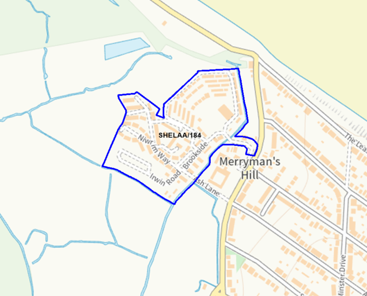
Location
Meadow View Park.
Size
7.79 hectares.
Download
Download this dataset (CSV 1210kb)Last updated Tuesday 5 May, 2026.
Spotted a mistake? Email Lpcomments@swale.gov.uk
Share this page